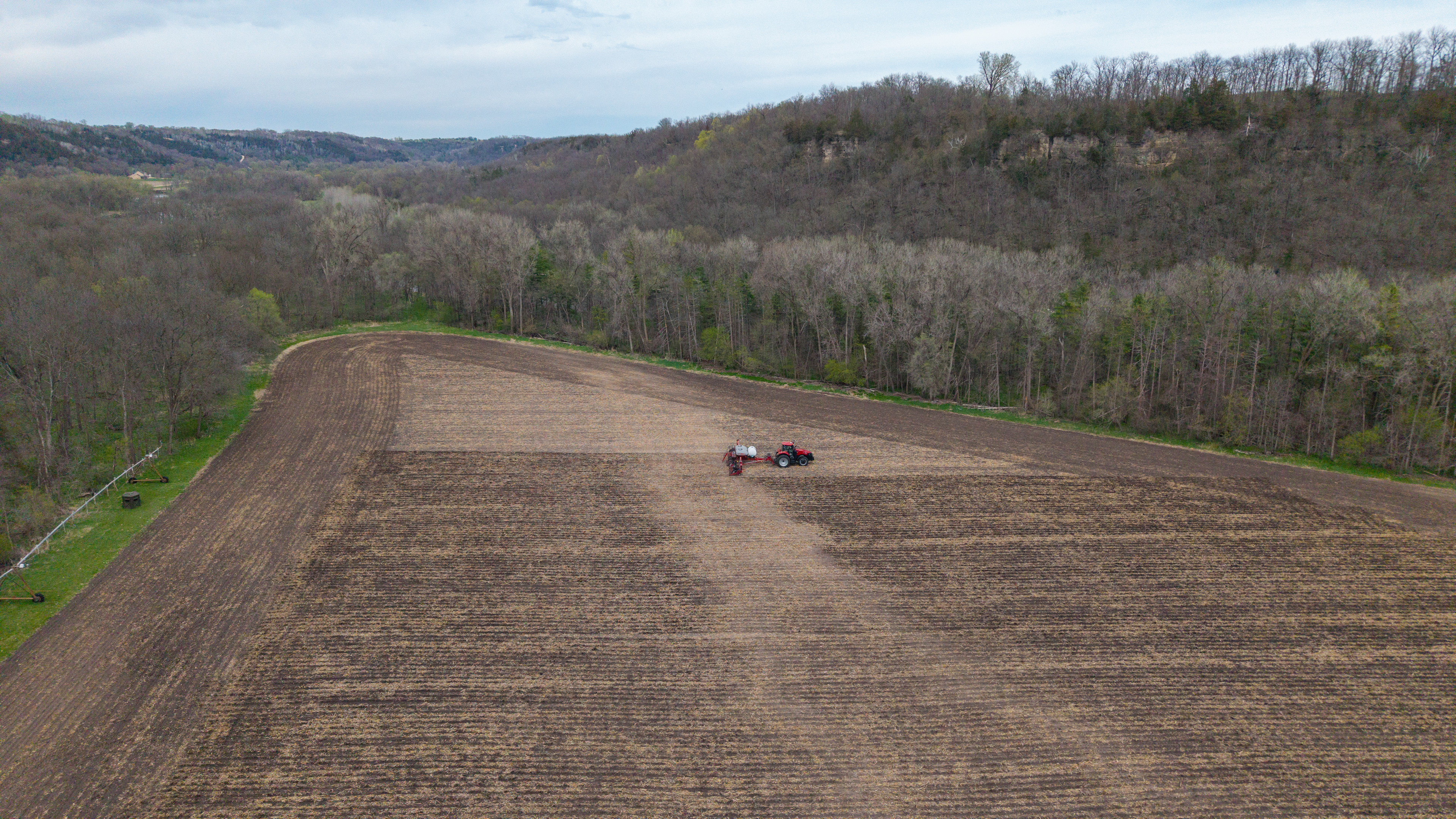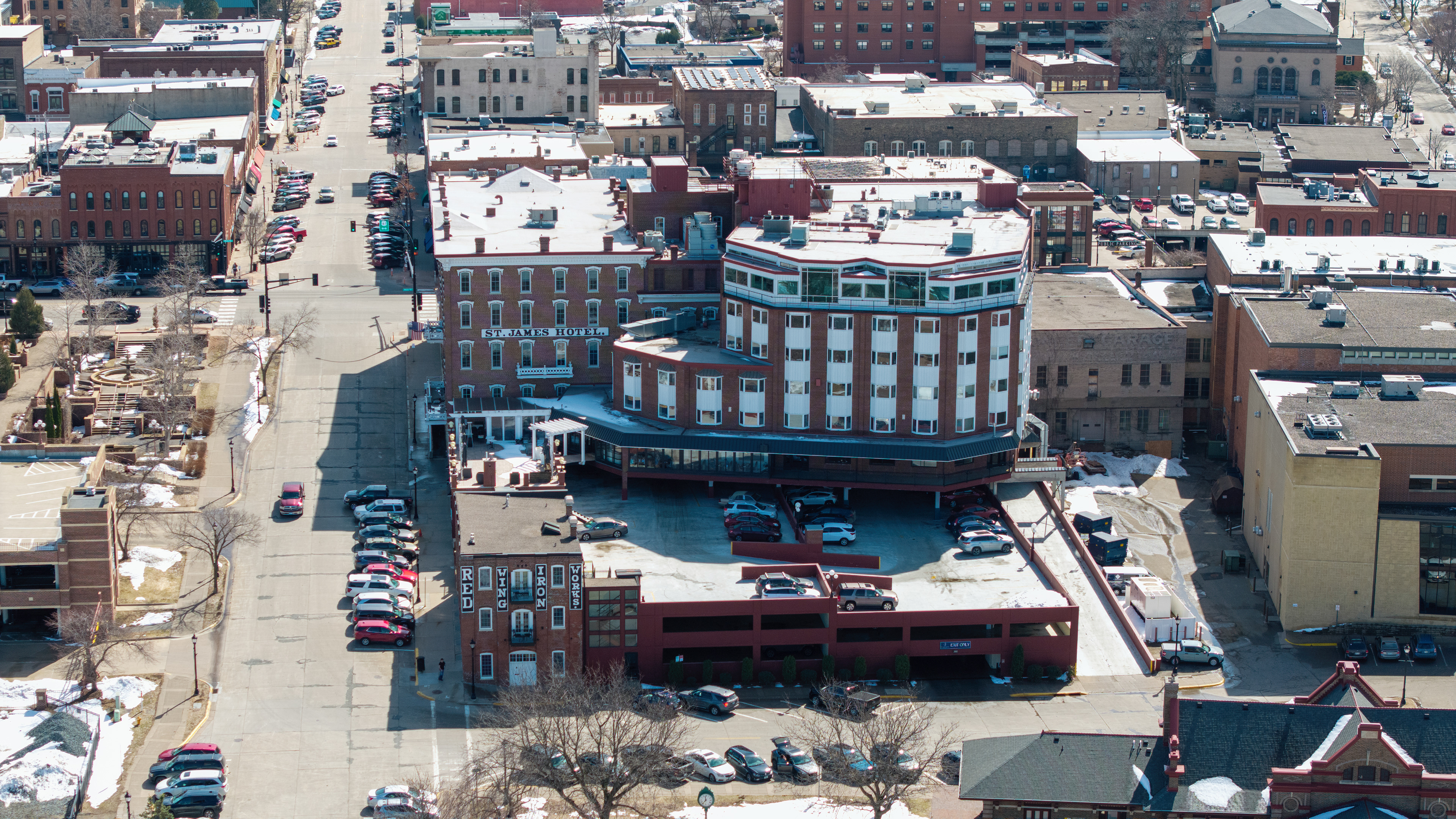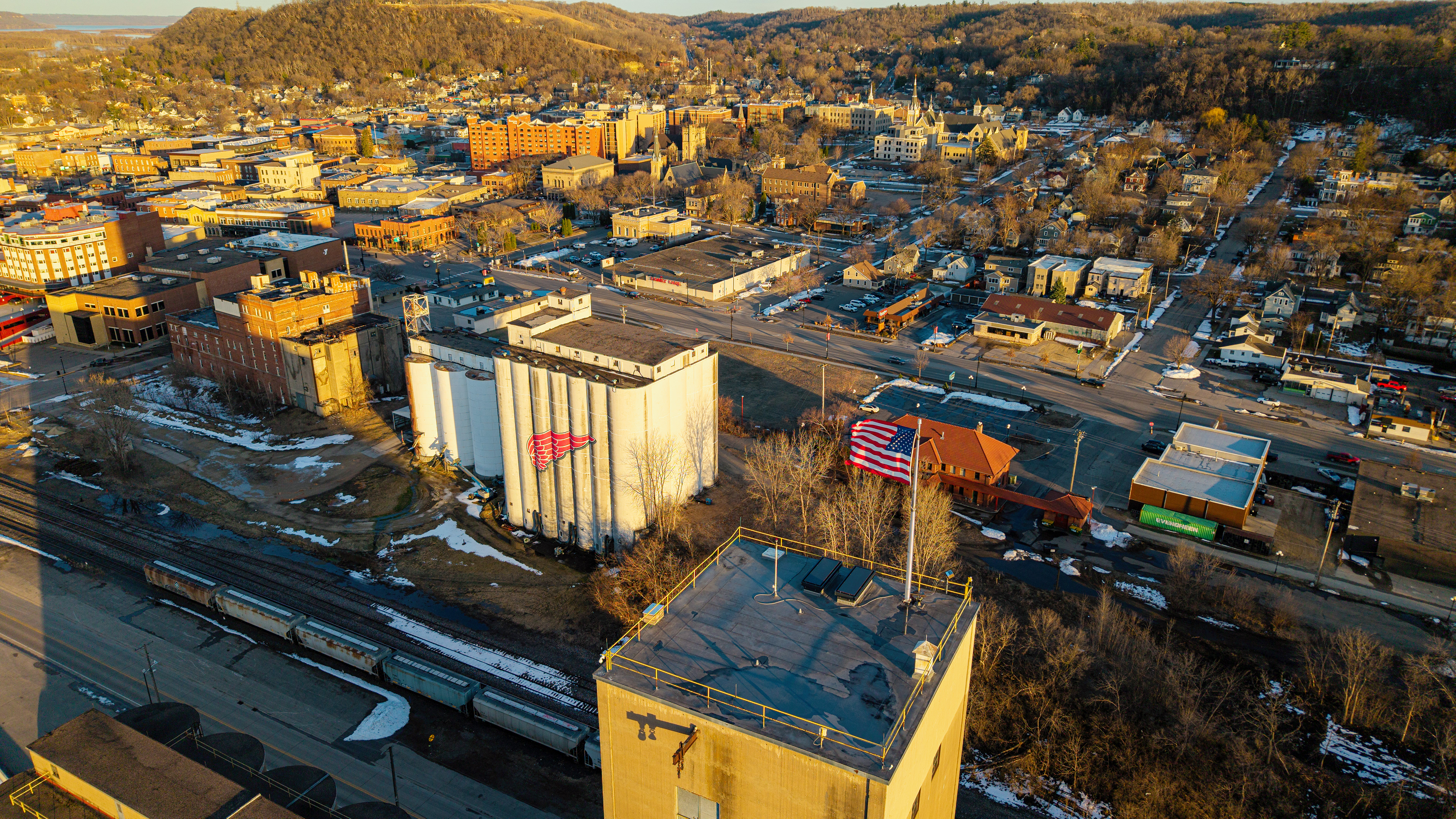
Professional Aerial Solutions for Real Estate & Agriculture
Dustoff Drone Services provides a comprehensive suite of aerial solutions designed to transform perspective into actionable intelligence. From high-impact residential and commercial real estate visuals that revitalize stale listings to precision-driven agricultural data, we deliver more than just images—we provide the "big picture" clarity your project demands. Our missions bridge the gap between cinematic storytelling and technical photogrammetry, offering everything from 4K marketing "hero" shots to detailed 2D orthomosaic mapping for site surveys and crop management. Whether you are showcasing a high-value property in the St. Croix Valley or tracking seasonal progress across hundreds of acres, we utilize advanced flight platforms to ensure every mission is executed with engineering-level precision and Part 107-certified reliability.