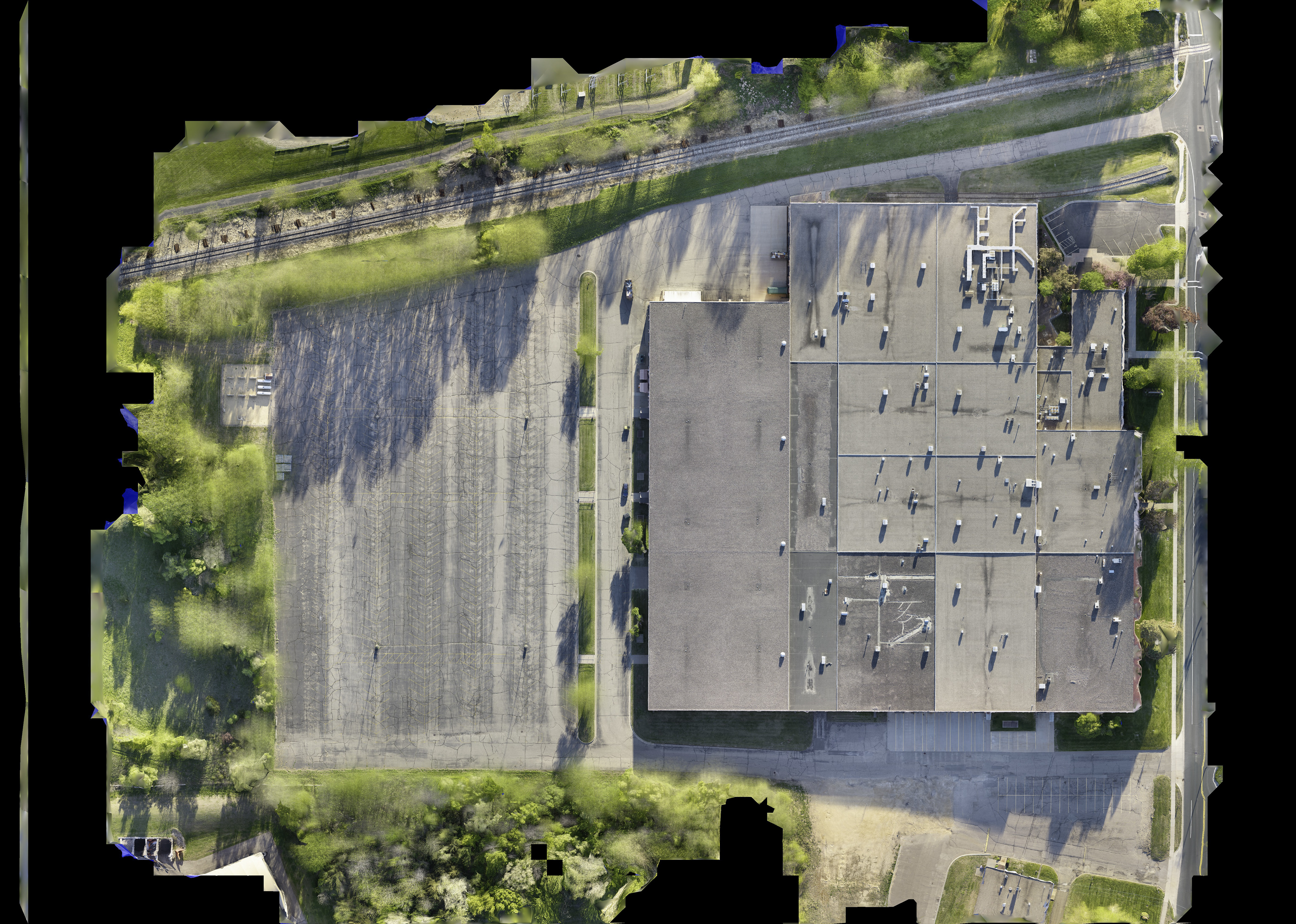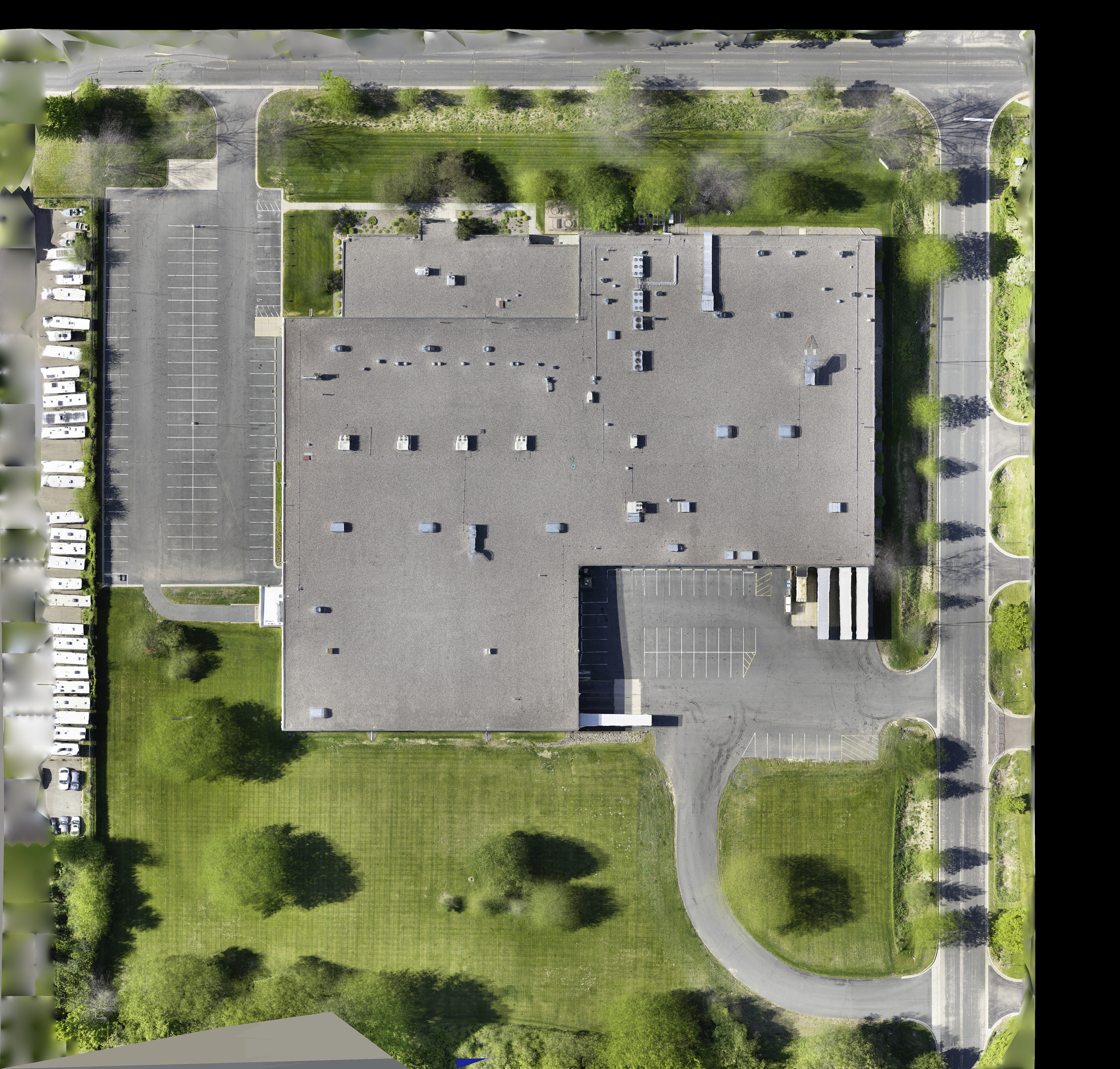
Precision Orthomosaic Mapping
We transform hundreds of high-resolution aerial captures into a single, georeferenced "Digital Twin" of your property. Unlike a standard photograph, our orthomosaics are orthorectified—meaning every pixel is corrected for lens distortion and perspective. The result? A scale-accurate, top-down map with sub-centimeter resolution (0.6 cm/px) that allows for precise measurements, site planning, and forensic-grade inspections.