
Aerial Intelligence for the Modern Farm
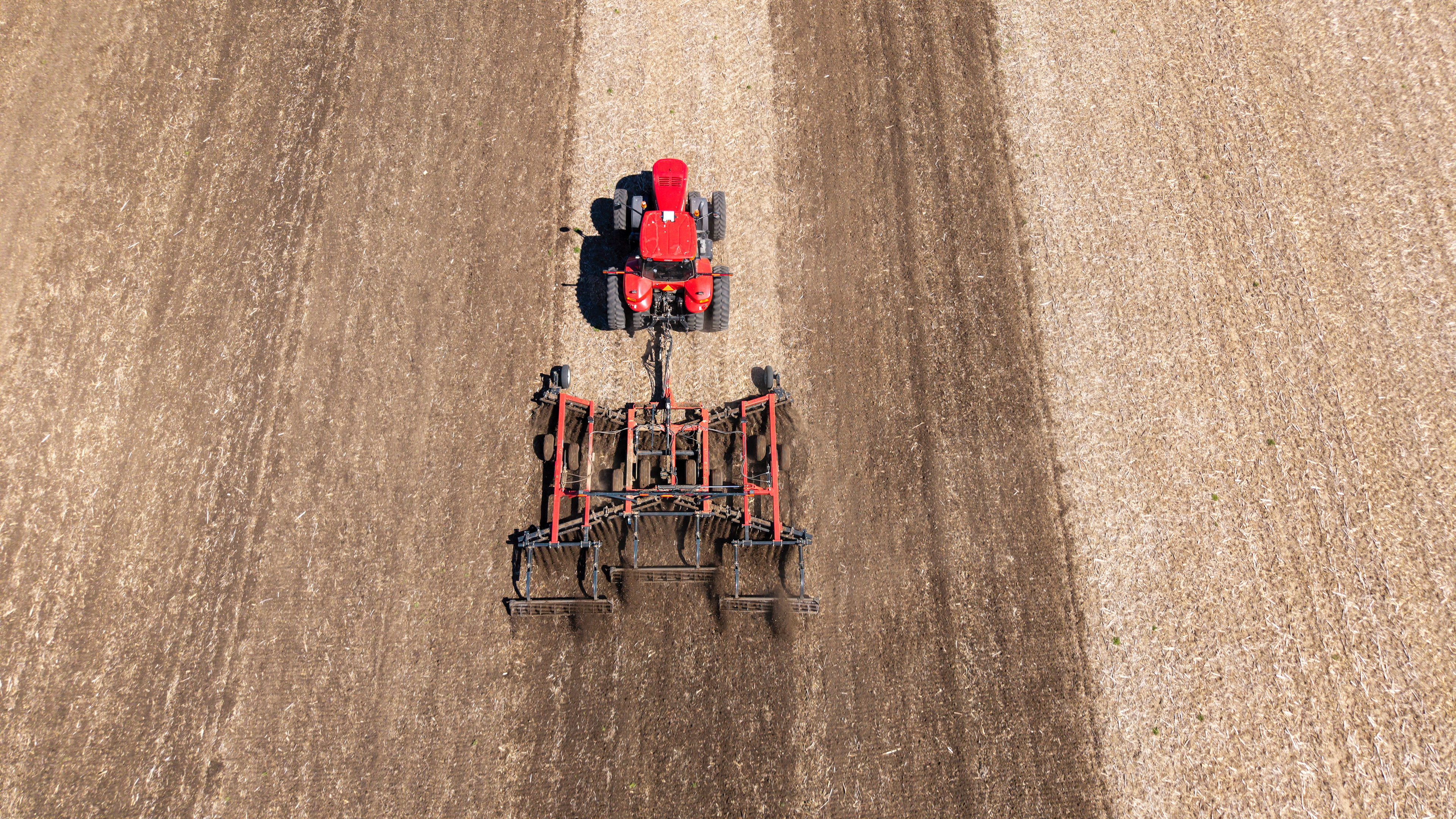
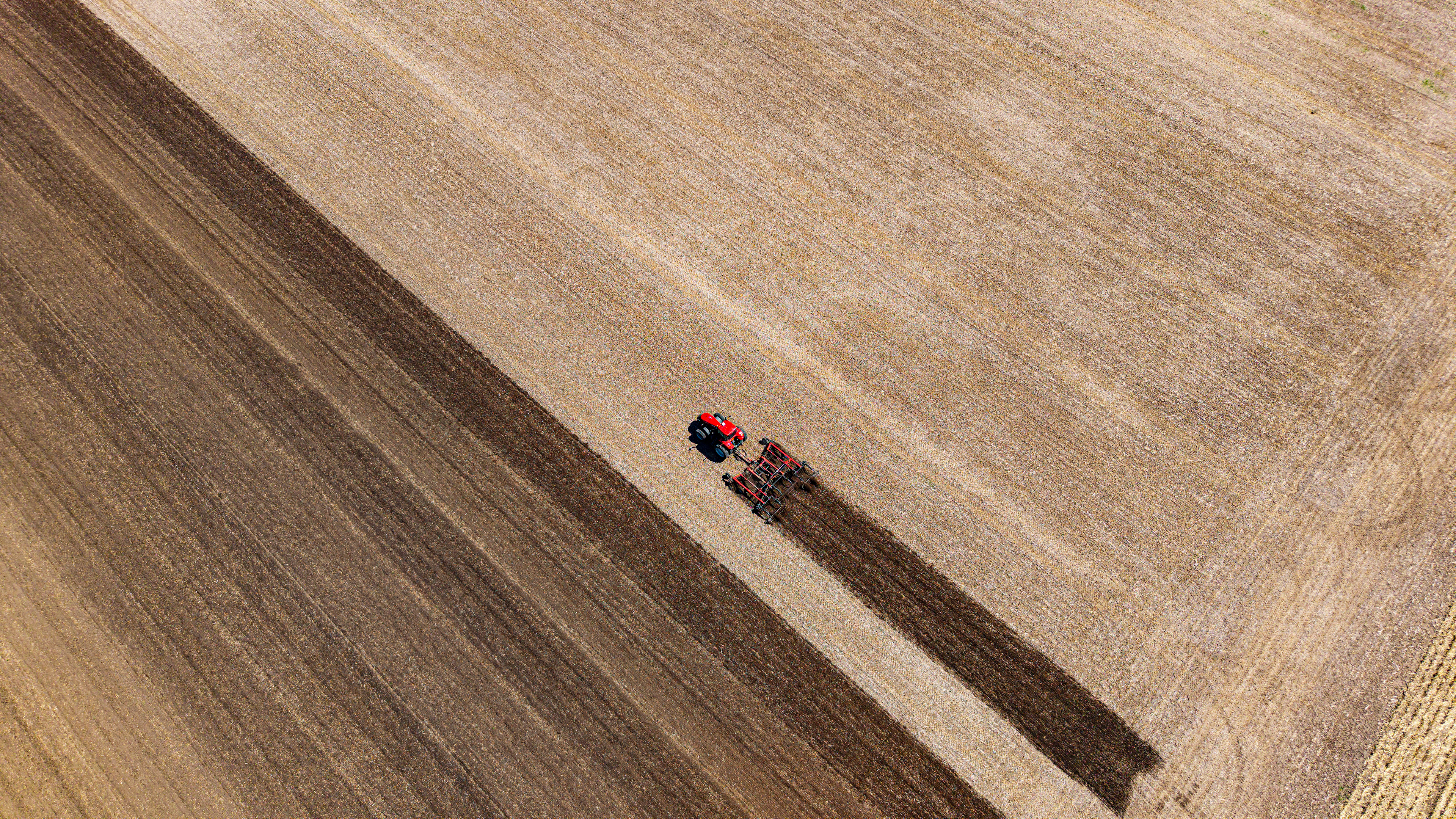
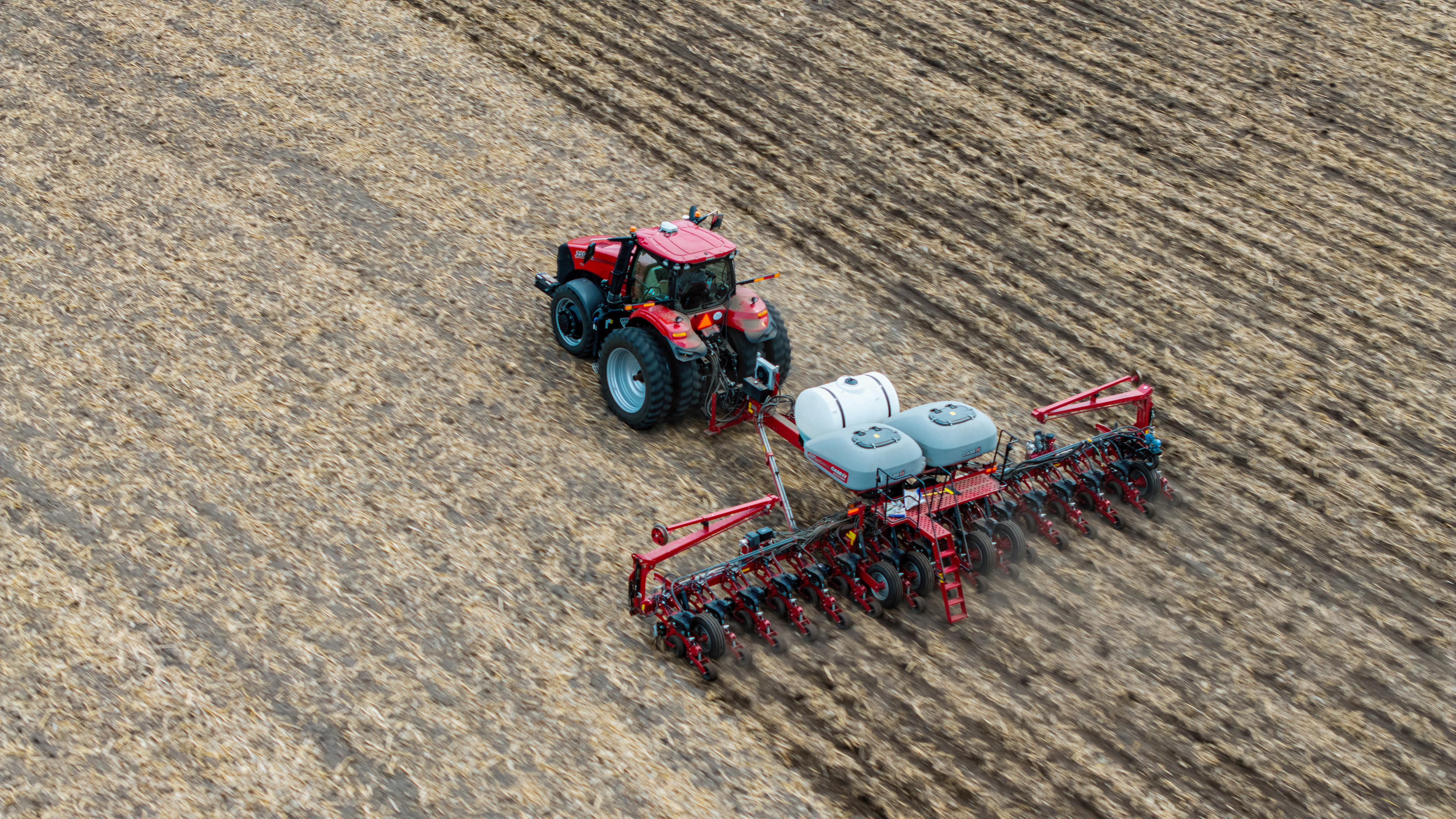
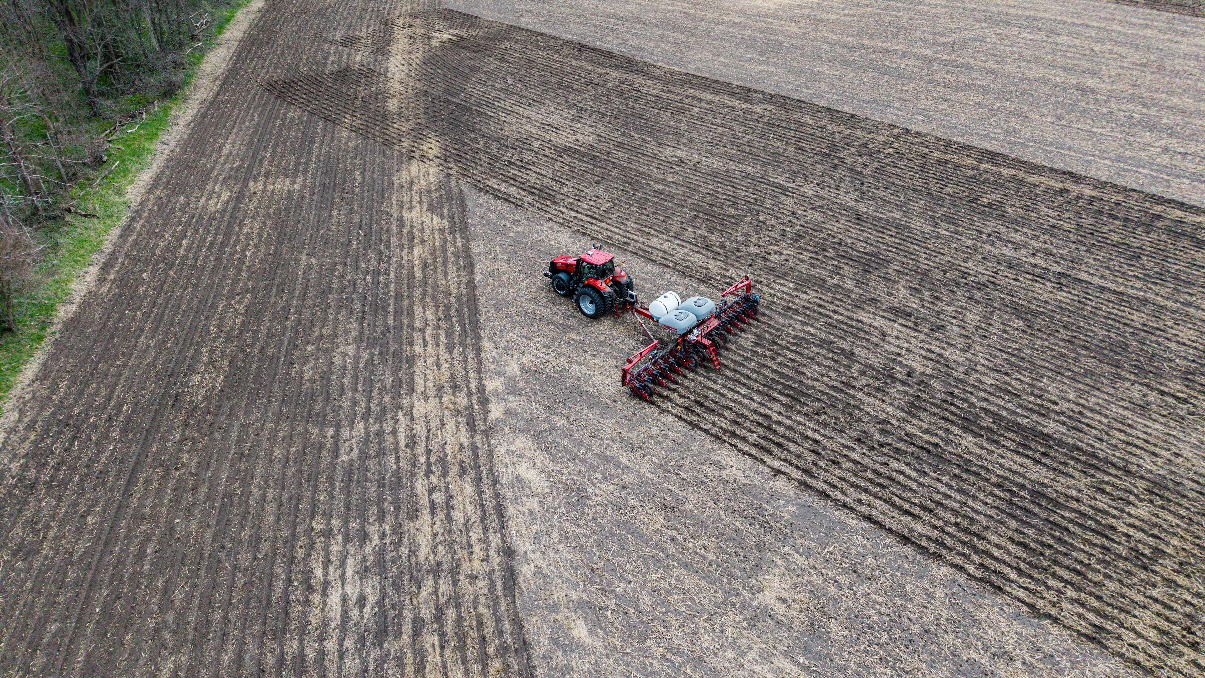
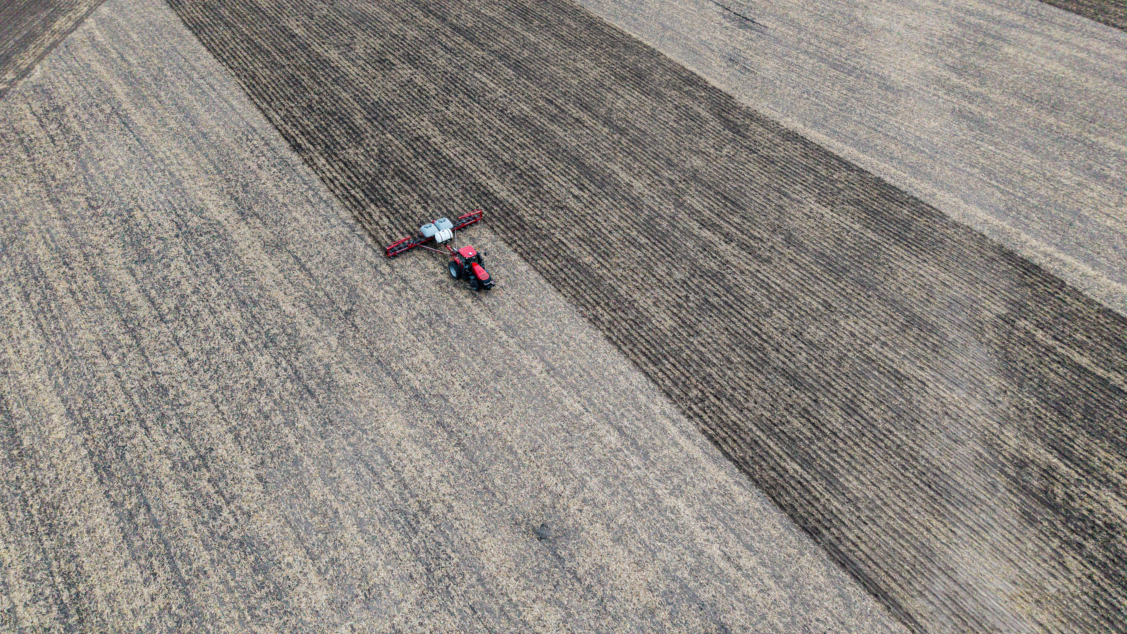
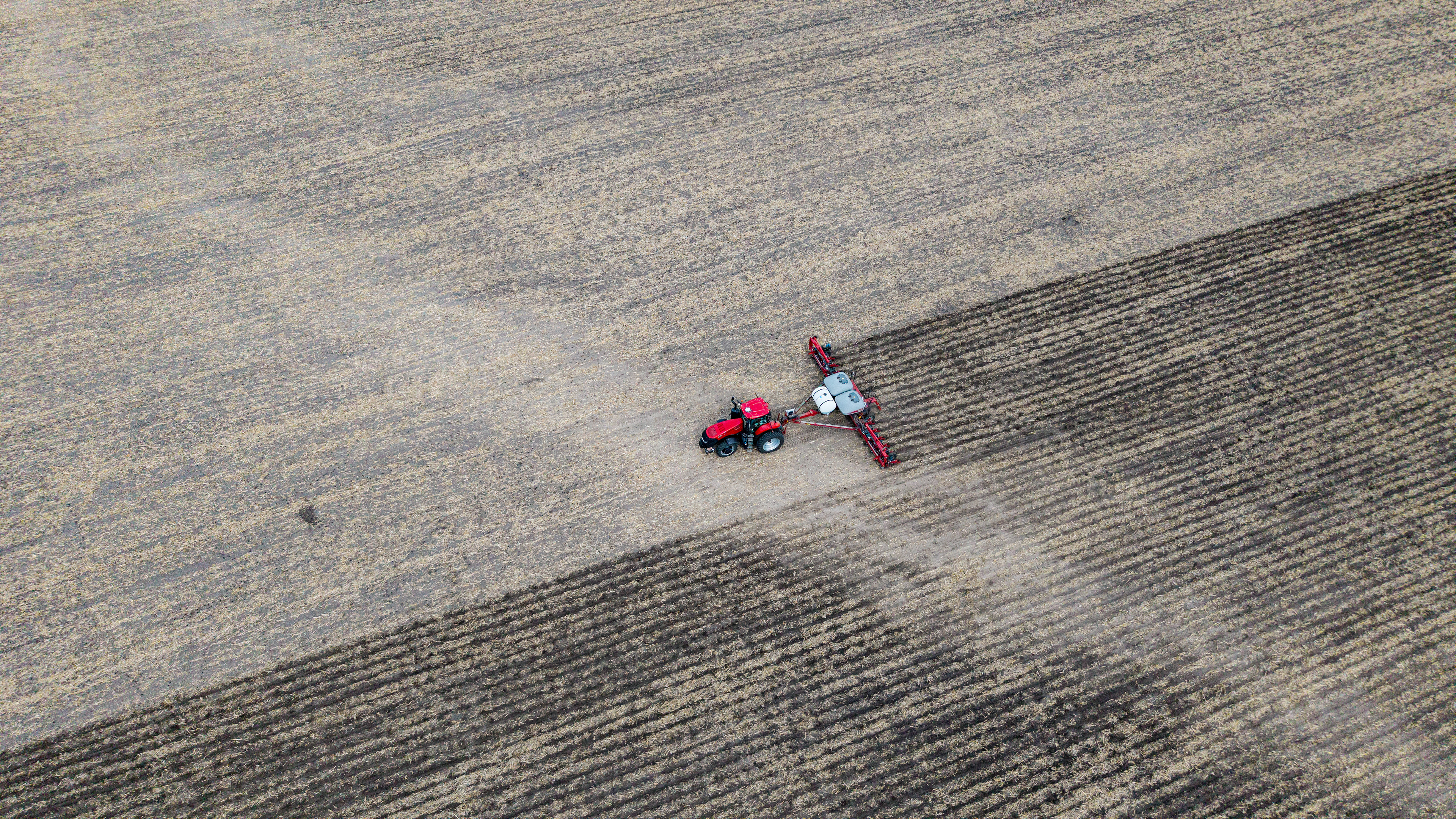
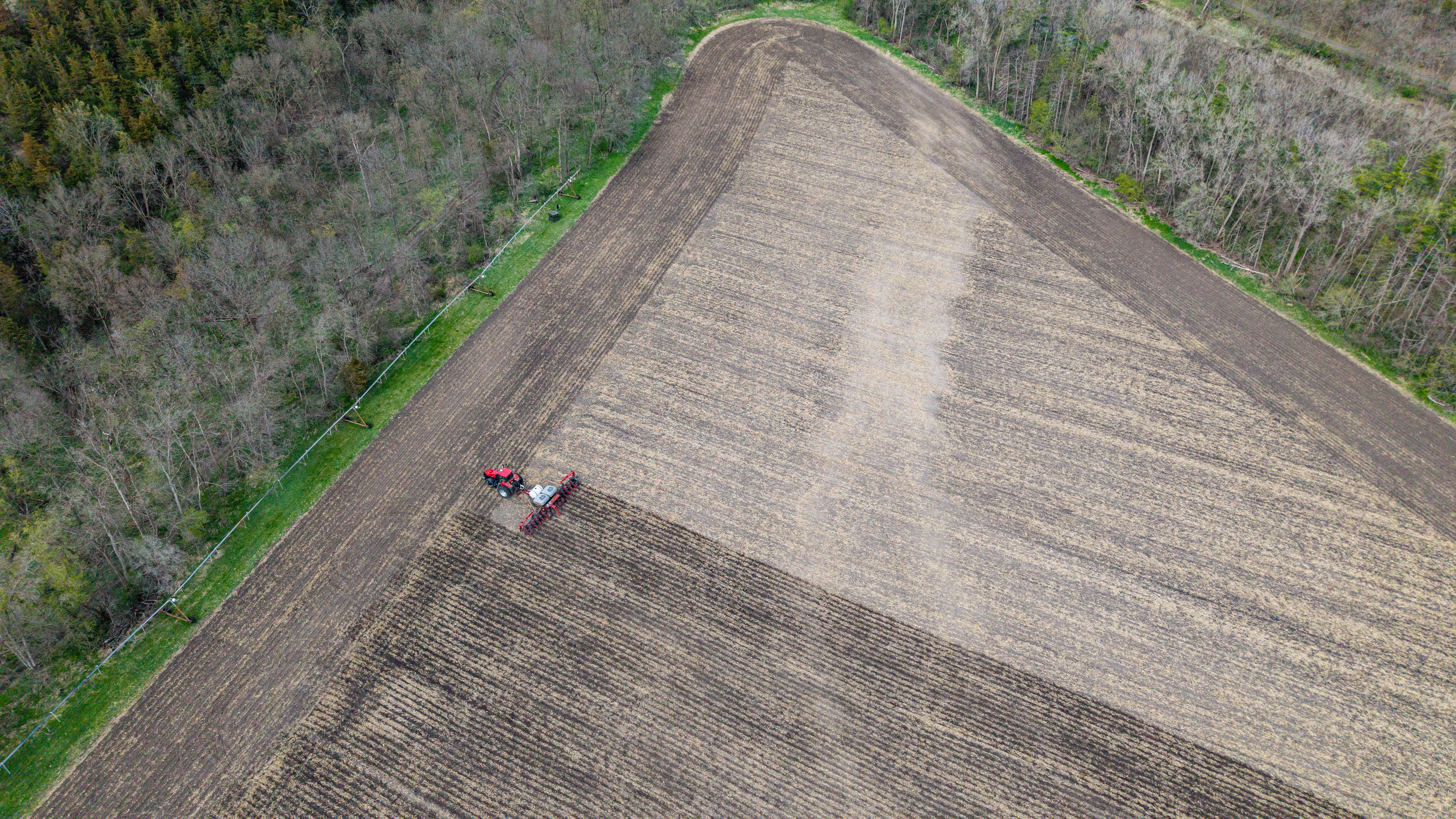
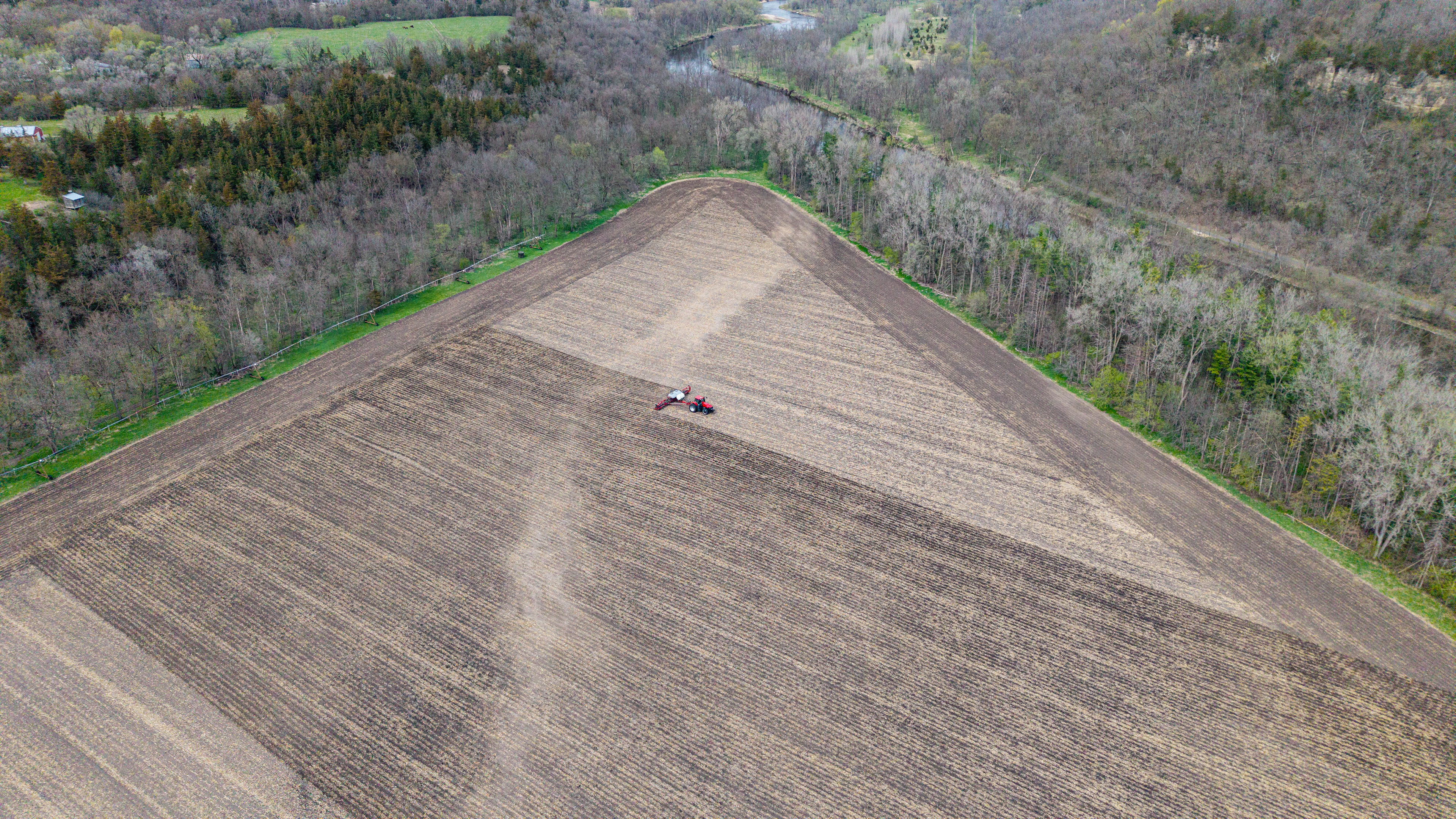
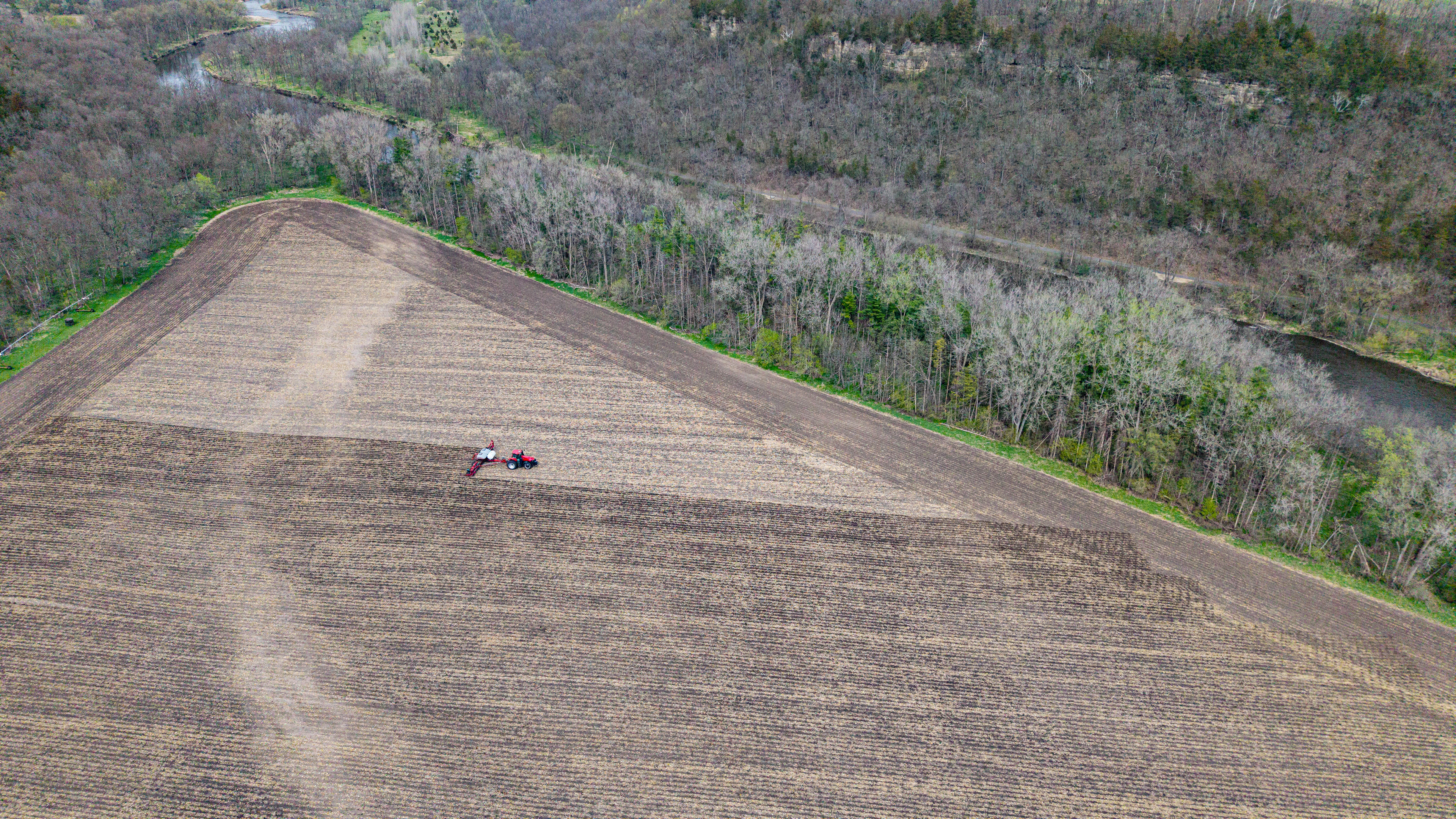
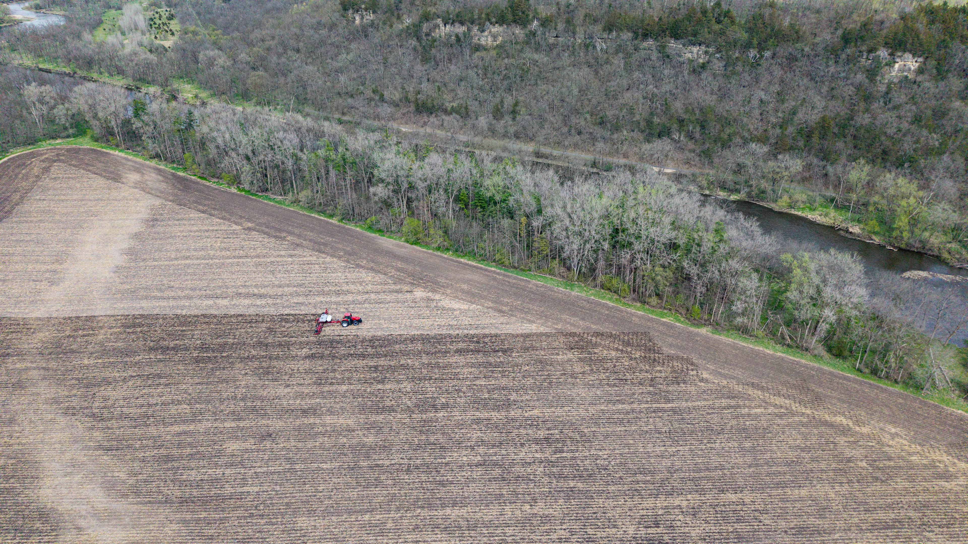
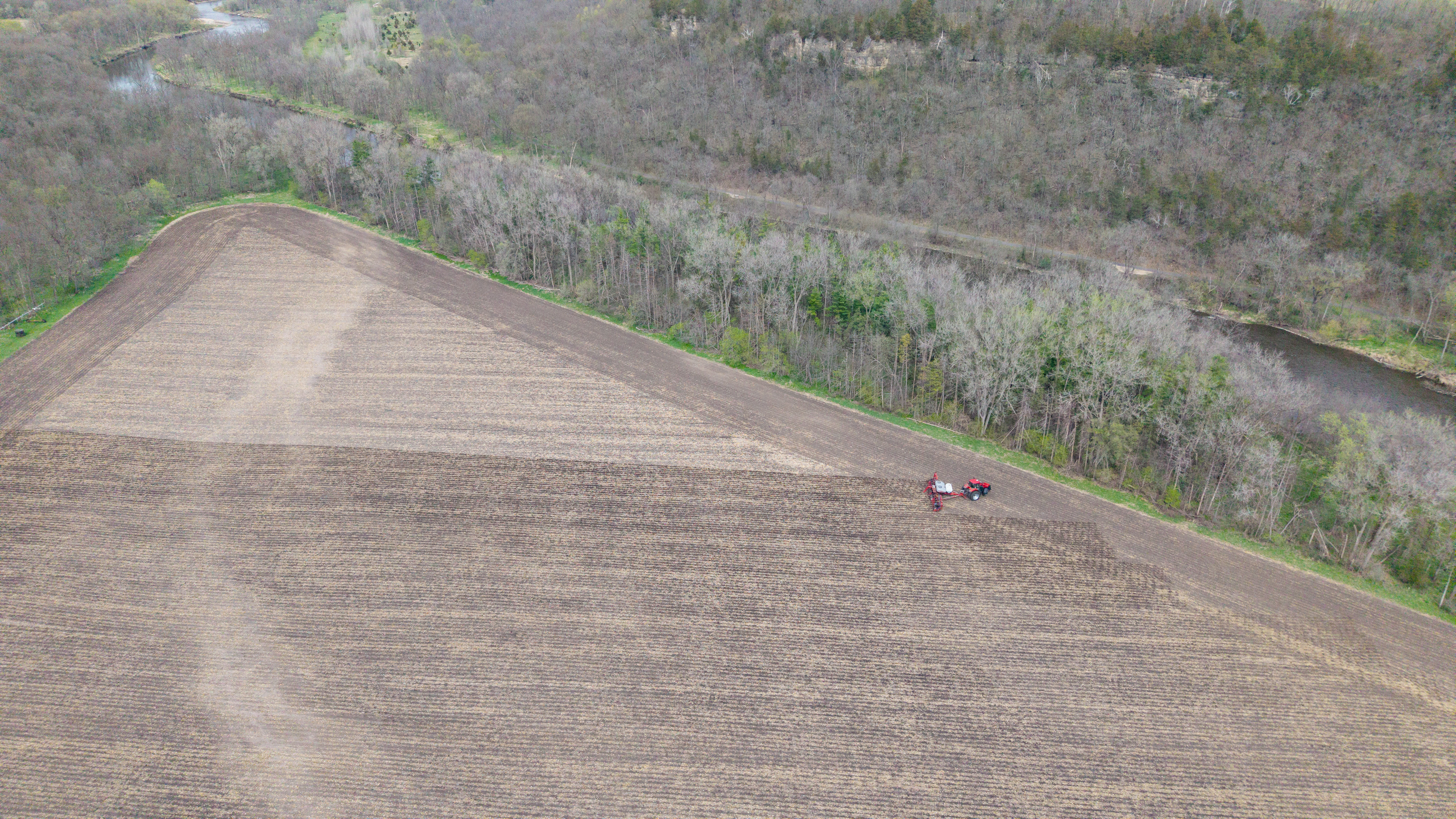
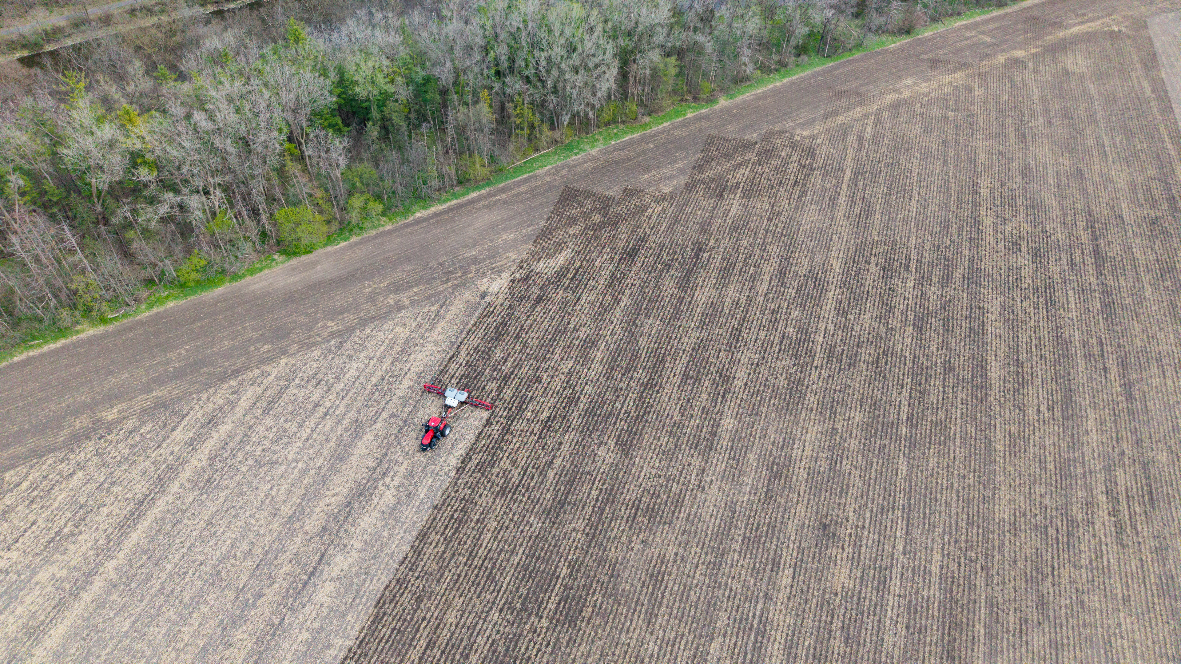
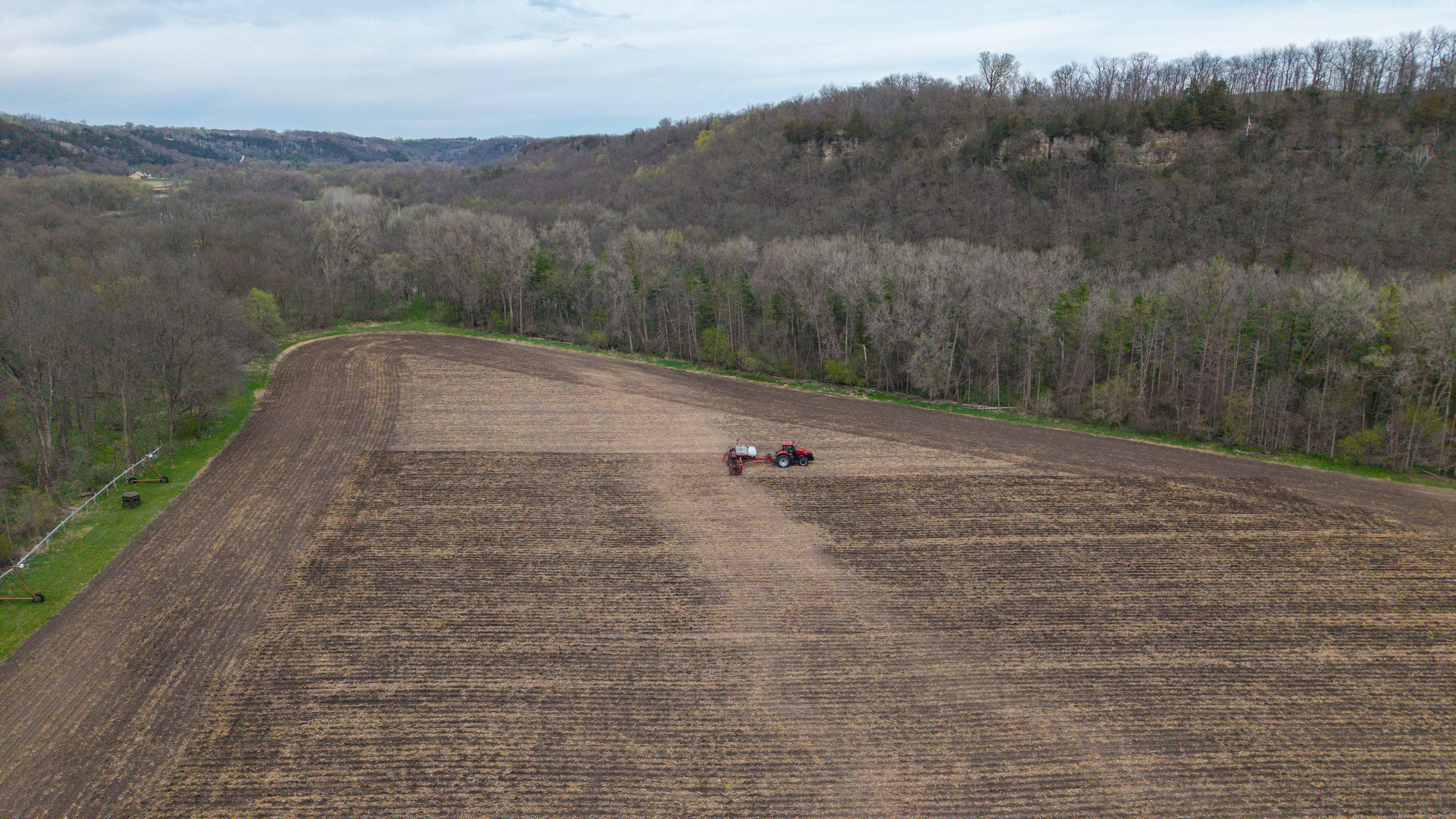
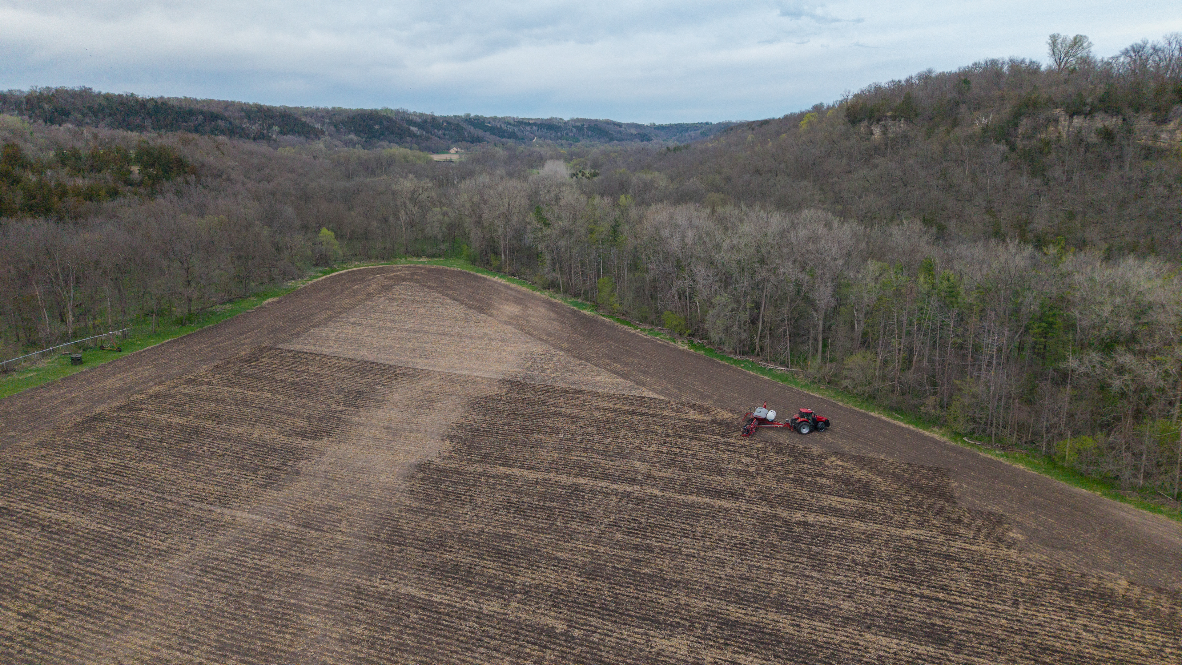
Agriculture is an industry of movement. Dustoff Drone Services provides live-action progress reporting, utilizing high-altitude perspectives to document field teams as they work. These "eye in the sky" visuals provide an invaluable record of operational efficiency and seasonal progress.
Our Ag services combine this cinematic storytelling with technical precision. Using state-of-the-art photogrammetry, we deliver high-detail orthomosaic maps that allow you to zoom in on every acre of your property. See your terrain, your crops, and your crew like never before.
Seasonal subscriptions for large-scale operations are custom-quoted to ensure we match the specific mission frequency and data requirements of your acreage.

Seasonal Ag Subscriptions: Data-Driven Farming
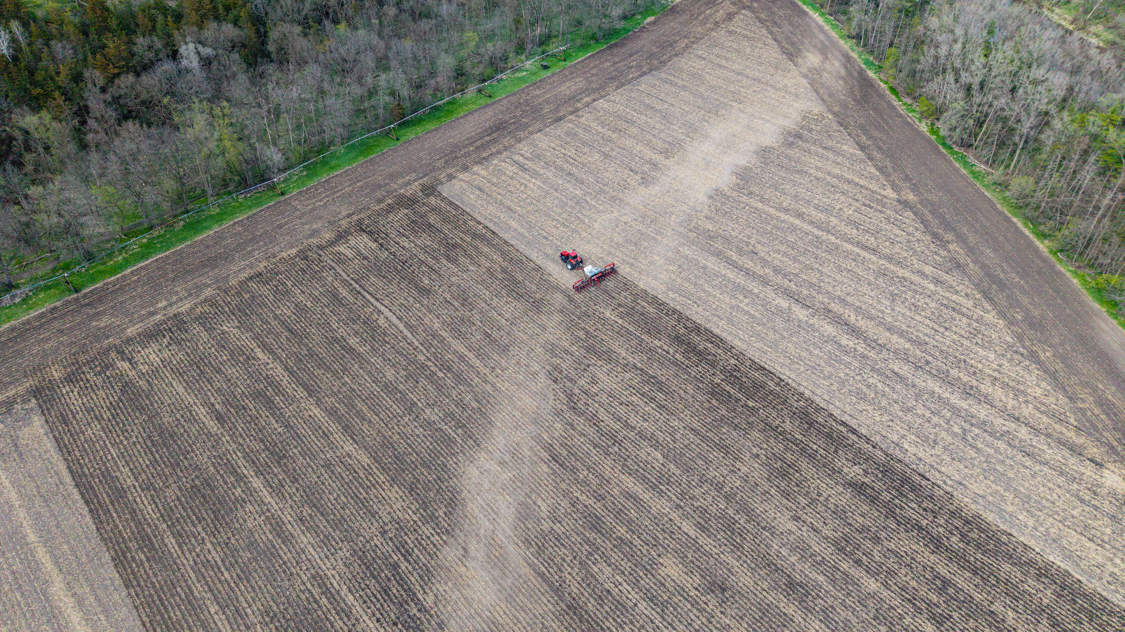
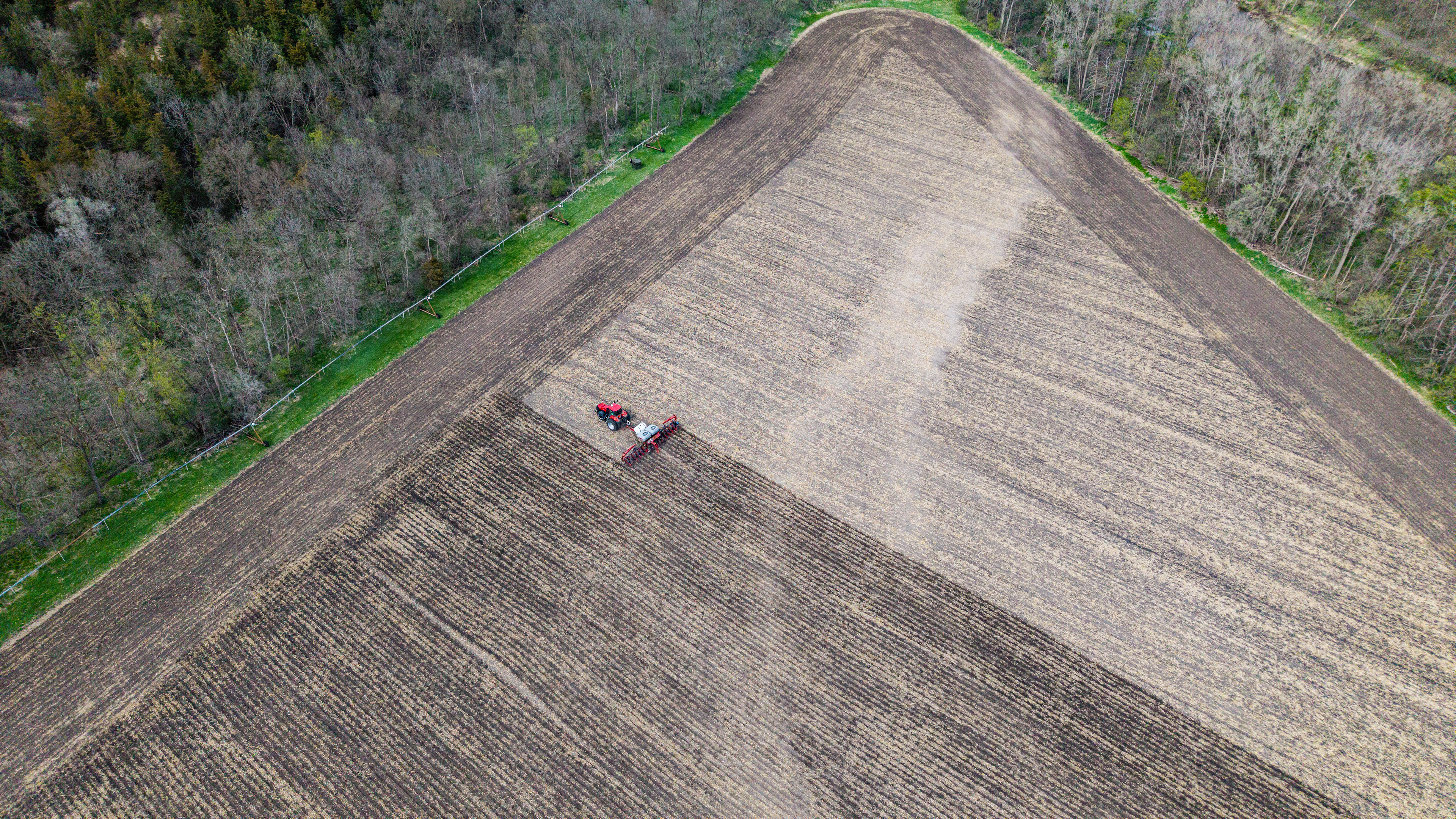
A single flight only tells part of the story. Our Seasonal Ag Packages provide a comprehensive visual history of your fields from planting to harvest. We offer tiered subscriptions for multi-field operations, providing recurring high-resolution data that tracks crop emergence, mid-season vigor, and post-harvest terrain.
As your acreage increases, your costs decrease. We utilize automated flight paths to ensure year-over-year consistency, giving you a baseline of data that helps you make informed decisions on drainage, inputs, and operational efficiency. Let us handle the eye in the sky so you can stay focused on the ground.